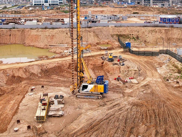
Unveil the hidden infrastructure beneath your feet with Intertek's Advanced Subsurface Utility Mapping services
Intertek-PSI is at the forefront of subsurface utility management and geophysical exploration, offering some of the industry’s most advanced and comprehensive services. Our team of highly skilled professionals, comprising geotechnical engineers, geologists, geophysicists, and surveyors, collaborates closely with stakeholders across diverse sectors to prioritize project safety, mitigate risks, and optimize cost efficiencies.
Intertek's Subsurface Utility Engineering (SUE) services adhere to a meticulous 4-Quality Level Iterative Process outlined in ASCE 38-02, ensuring precision and reliability at every stage. From Records Review to Validation/Hydrovac Excavation, our methodical approach guarantees thorough subsurface utility management, minimizing uncertainties and maximizing control.
We deliver unparalleled insights into subsurface environments, empowering clients with a thorough understanding of their underground assets. Our advanced geophysical methods go beyond Ground Penetrating Radar (GPR) surveys, utilizing a wide range of cutting-edge instruments such as Ultrasonic, Electromagnetic, and Acoustic equipment.
Our equipment capabilities include:
- GPR with multiple frequencies for high-resolution, large-area surveys, capable of reaching depths of up to 18 feet in certain soil types.
- RD 8100 system capable of locating a variety of utilities, offering both passive and active locating with integrated GPS options for pinpoint accuracy.
- SPAR 300 Electromagnetics system allows for accurate vertical location and is less sensitive to soil changes.
- Acoustic Pipe Locator ideal for plastic pipes, clay concrete, and fiber optic lines.
The deliverables we provide are tailored to meet the specific needs of each project, ranging from field markings with paint or flags to comprehensive 2D utility plans or alignment drawings with profiles. We also have the capability to deliver accurate 3D models with depth information using AutoCAD Civil 3D and BIM plugins which transform raw data into actionable insights. And our custom-built Utility Data Management Repository, a proprietary software solution, ensures that all subsurface information is meticulously organized and easily accessible.
Our underground utility mapping and advanced geophysical services lead to significant reductions in construction time, costs, and labor, while minimizing risks, change orders, and delays. With Intertek's expertise by your side, you can navigate the complexities below ground with confidence and clarity.
Contact us today to learn how we can support your next project.
You may be interested in...
Intertek-PSI’s geotechnical engineers provide subsurface investigations to evaluate a site’s soil and geologic conditions and identify potential risks that could impact site selection or foundation design for a variety of structures and buildings.
Related Links
Advanced Geophysical Services
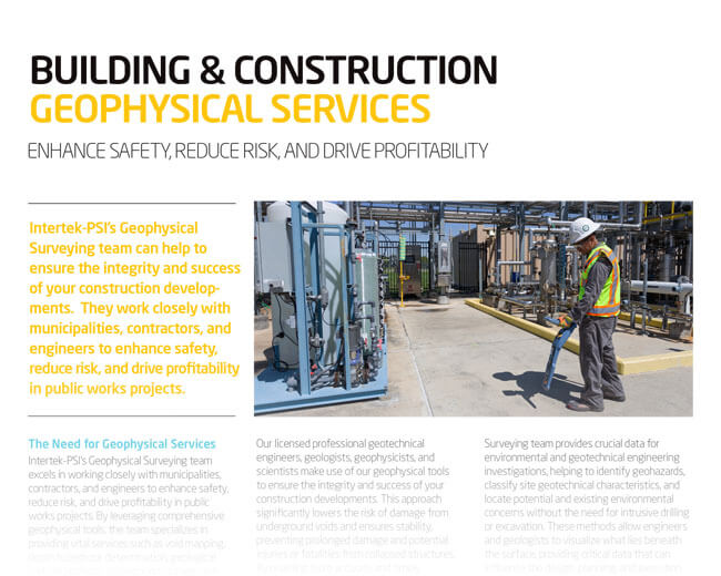
Intertek-PSI’s Geophysical Surveying team can help to ensure the integrity and success of your construction developments. Fill out our form to download our fact sheet and learn more about this service.
Knowledge Center
Building Health & Wellness: An Overview of Services
Acoustical Testing & Consulting Resources
Remote Pre Inspections for NFPA 80 / 101
Protek - Safety. Everywhere. Every Day
Fire Doors 101: Your Guide to Testing and Certification - Webinar Recording
Tornado Testing & Certification Requirements - Webinar Recording
Plumbing Products Testing & Certification - Webinar Recording
The Evolving Code Evaluation Process White Paper
Proposition 65 & the Furniture Industry Webinar Recording
Why Planning for FCC Certification is Key to Success in the Door Hardware Industry White Paper
Upcoming Tradeshows & Events
Resources
- Search and Buy Building & Construction Standards
- SpecDirect
- Building Products Directory
- Project Connect (formerly myATI) – B&C Products
- Construction Hive – B&C Projects (PSIQest)
- My TestCentral