Efficient and precise data acquisition, environmental monitoring, and surveillance to support safe port, waterways and coastal project development and operation
Subsea surveys provide information about underwater terrain and potential hazards. Armed with this information, port authorities, cable and pipeline project owners, and port asset owners are better equipped to plan for offshore projects, ensuring accurate infrastructure design and safe asset installation while reducing the risk of project delays and potential environmental damage.
From pipelines, cables, bridge and jetty foundations, hydrodam installations and other marine infrastructure, there are countless potential risks that lie under the water in areas such as canals, ports and coastlines. Being aware of those risks, and planning ahead to avoid them, can help ensure successful project development while minimizing or avoiding environmental impact and personnel safety risks.
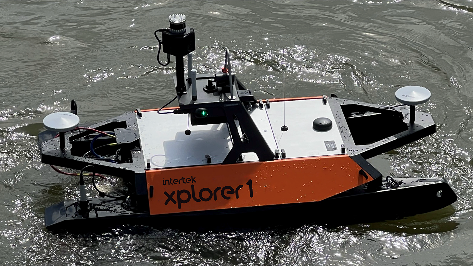
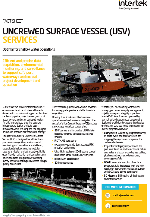
The Intertek Xplorer 1 Uncrewed Surface Vessel (USV) is designed for efficient and precise data acquisition, environmental monitoring, and surveillance in sheltered, coastal and shallow areas. Its modular catamaran design and advanced, yet highly user-friendly navigation and control system offers seamless integration with leading survey sensors, enabling easy access to high quality ocean data.
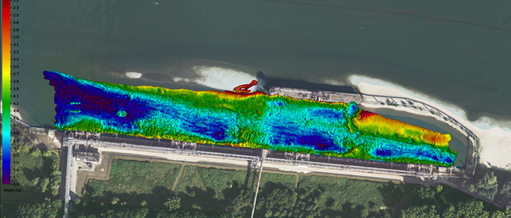
Port: Sonar mapping bathymetric survey
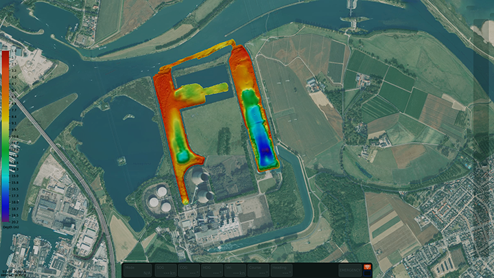
Power Plant: Sonar mapping bathymetric survey
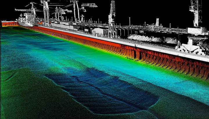
Integrity Surveying using sonar data and lidar data
The Intertek Xplorer 1 is equipped with various payloads for survey grade, precise and effective data acquisition. Offering functionalities of both remote operations and autonomous navigation, the vessel’s Vehicle Control System (VCS) ensures easy access to various survey sites. Additionally, the VCS provides live survey data visualization, integrating sensor data into a single, user-friendly interface.
Whether you need cooling water canal surveys, port asset integrity management, or jetty survey and integrity inspection, Intertek’s Xplorer 1 vessel, operated by our trained and experienced personnel, is designed to efficiently capture the detailed underwater data you need to support your marine projects worldwide.
- BATHYMETRIC SURVEY: hydrographic survey of ports, rivers and coastal waters for mapping the depths and shapes of the underwater terrain
- INSPECTION: integrity inspection of the port infrastructure and detection of debris; anomalies and scour around quays; cables, pipelines and submerged structures; sewerage outfalls
- LiDAR: terrestrial mapping of surface structures, fully integrated with the high resolution bathymetric multibeam system with 300k data points per second
- 3D MAPPING: 3D imaging of the bottom and infrastructure