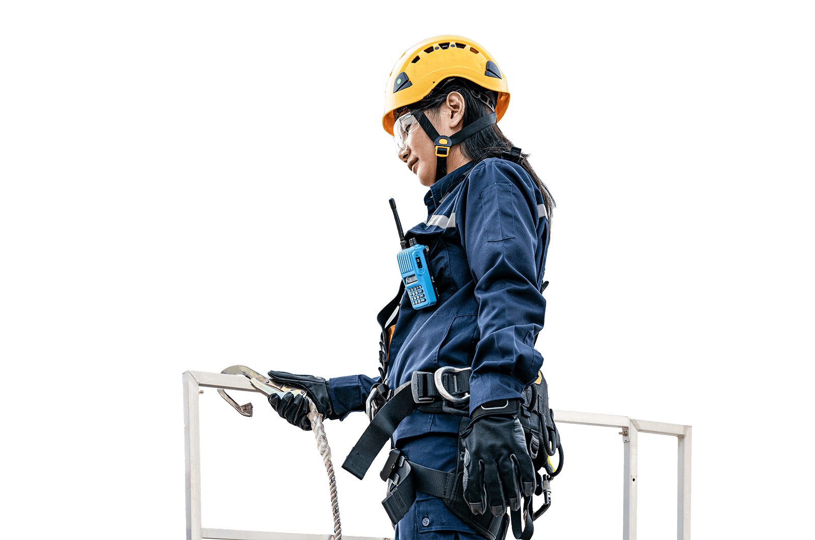
Intertek onshore and offshore surveying services help customers meet engineering, construction and asset record challenges.
Effective surveying services offer unprecedented gains for clients working in the offshore and process industries. Shortening project duration, improved site safety, increased accuracy, reduced field time and minimal rework are just some of the benefits. Intertek's Total Quality Assurance surveying services have become an essential element in managing the entire life cycle of a project from design and construction through to installation, upgrade and revamp.
These versatile and customizable services are available in many industries such as oil and gas, shipbuilding, renewable energy, refining, petrochemical, nuclear, manufacturing, and aerospace.
2D & 3D Modeling Services Modeling from this point cloud intelligent data gives the benefit of
accurate, as built conditions, with minimal trips to the site.
3D Laser Scanning High Definition Survey Services During any retrofit/upgrade/revamp project, accurate and timely photorealistic as-built information that can help reduce re-work, time, and costs is a tangible benefit. We provide a unique CAD integrated survey solution allowing vast digital data capture in a very short period of time, mitigating risk and reducing potential project costs due to dimensional errors.
Dimensional Control Survey Services Dimensional Control uses proven engineering survey techniques and modern survey equipment to collect highly accurate as-built 3D data on new or existing mechanical, structural, and civil engineering projects. As with laser scanning, this precisely collected spatial data is used during project planning and execution phases to avoid uncertainty related to interface integration and measurement anomalies.
3D Metrology Services Obtaining precise, accurate measurement information can mean the difference between success and failure when it comes to your products and services. With accuracies in the thousands of an inch we service companies involved in a variety of industries including aerospace, automotive, casting and forging as well as oil and gas, injection molding, medical, chemical and power generation.
Surveying and Mapping Engineering Intertek has a specialized department for Land Surveying applications such as pipeline infrastructure/routing and supporting onshore drilling efforts. We offer a full range of professional surveying and mapping services to support a wide variety of industries.
3D Laser Scanning LFM Software Intertek is a distributor of the LFM (Light Form Modeler) Suite of products. This powerful 3D software package is used to allow viewing of the laser scan data in order to browse, extract dimensional information, conduct as-built modeling or facilitate integration directly with CAD applications. This facilitates referencing of scan and CAD model data interchangeably between the two applications to aid in design efforts. LFM is hardware and software vendor neutral. It accepts data from all 3D laser scanners and exports to 3D integrated plant design systems CAD and review platforms.
3D Laser Scanner & Survey Equipment, Rental and Sales Our 3D laser scanners and surveying equipment provide customers with flexibility and complete turnkey project solutions. We sell and rent a vast array of 3D laser scanners and surveying equipment to clients involved in a wide range of industries including shipbuilding, chemical plants, oil and gas, nuclear power plants and civil engineering.
